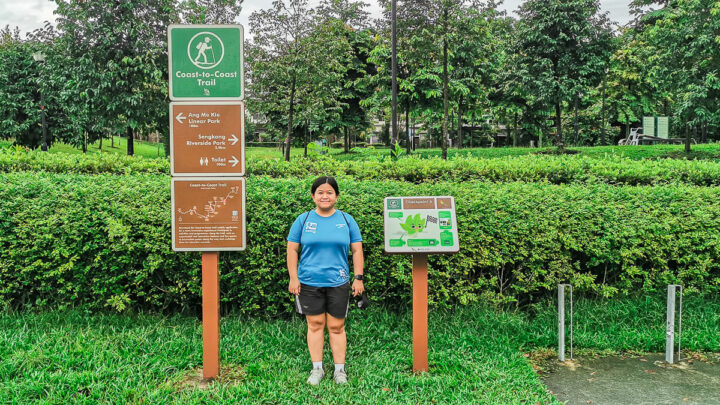

One of the things I’ve always wanted to do in Singapore is to complete the Coast to Coast Trail. Even though I’m not in my best shape at the moment (thanks to pandemic belly), I don’t want to wait until everything is perfect to do something.
So, I decided to conquer the Coast to Coast Trail by breaking it into 3 manageable distances. And I did it! I completed the last stretch (the stretch ending at Coney Island) on 6 November 2021. And I’m here to share my experience and tips to help you plan your own Coast to Coast Trail.
If you’re still on the fence thinking whether Coast to Coast Trail is worth your time. Trust me, it’s life changing!
How long is the Coast to Coast Trail?
According to NPark’s guide, the Coast to Coast Trail is 36km long, starting from Jurong Lake Gardens and ending at Coney Island. There are supposedly 10 checkpoints in C2C Trail.
However, if you study the map carefully, you’ll notice that Checkpoint 10 is actually off-the-trail. Most people only tackle the trail from Checkpoint 1 to Checkpoint 9.
Even though NPark said the length is 36km, be prepared to walk more than that because you need to add the distance from Lakeside MRT to CP1, the distance between Coney Island (CP9) to the bus stop, the detours you’ll take to re-fuel or to go to toilet as well as detours because you will (probably) get lost.
For me, I clocked 40km in total, including distance from Lakeside to CP1, distance from CP9 to bus stop, and all the detours.
Distance between Checkpoints
Lakeside MRT to Checkpoint 1 = 1.9 km
Checkpoint 1 to Checkpoint 2 = 5.7 km
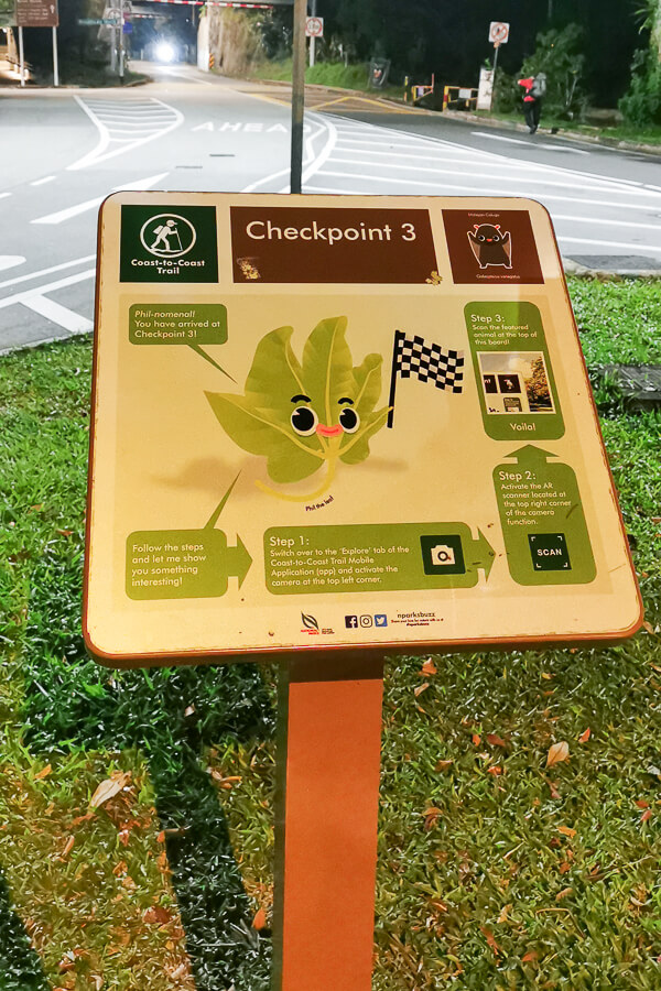
Checkpoint 2 to Checkpoint 3 = 1.9 km
Checkpoint 3 to Checkpoint 4 = 5.7 km
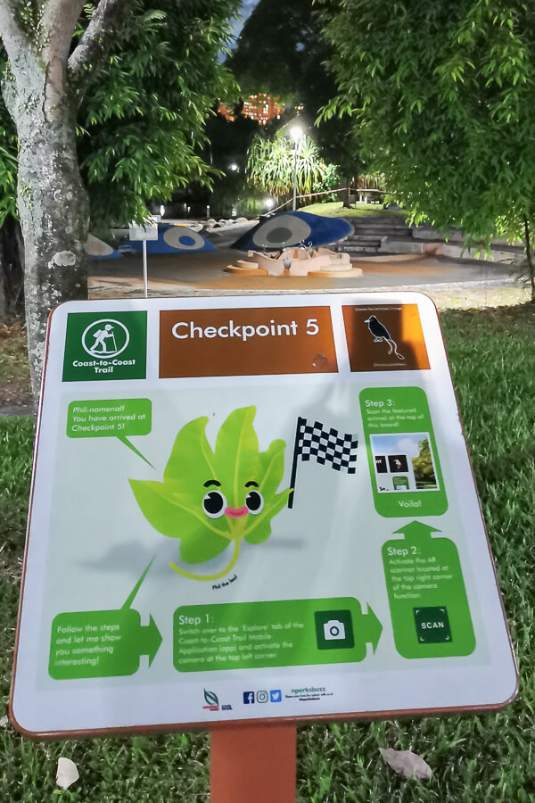
Checkpoint 4 to Checkpoint 5 = 7.9 km
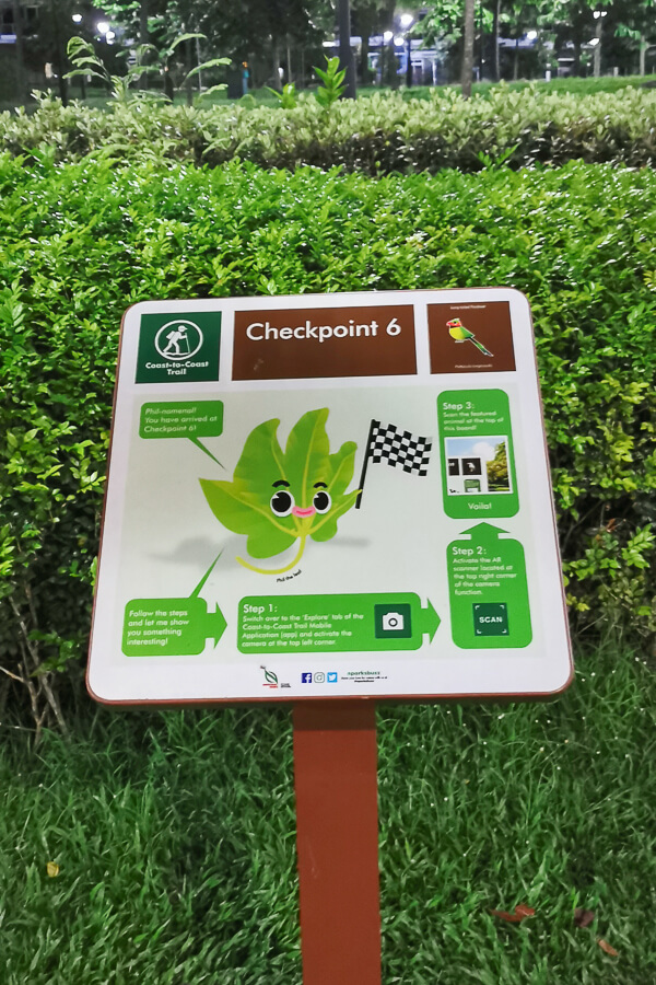
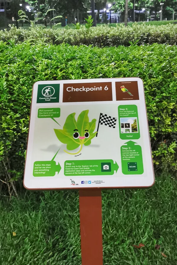
Checkpoint 5 to Checkpoint 6 = 5.6 km
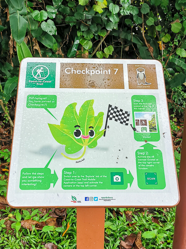
Checkpoint 6 to Checkpoint 7 = 2.6 km
Checkpoint 7 to Checkpoint 8 = 4.1 km
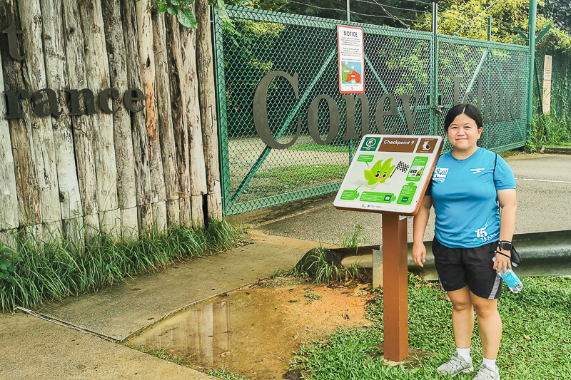
Checkpoint 8 to Checkpoint 9 = 2.7 km
Checkpoint 9 to Bus Stop at Punggol End Rd = 1 km
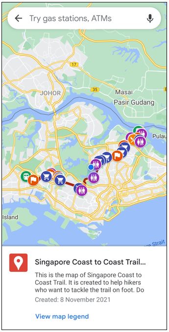
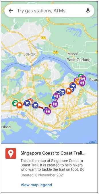
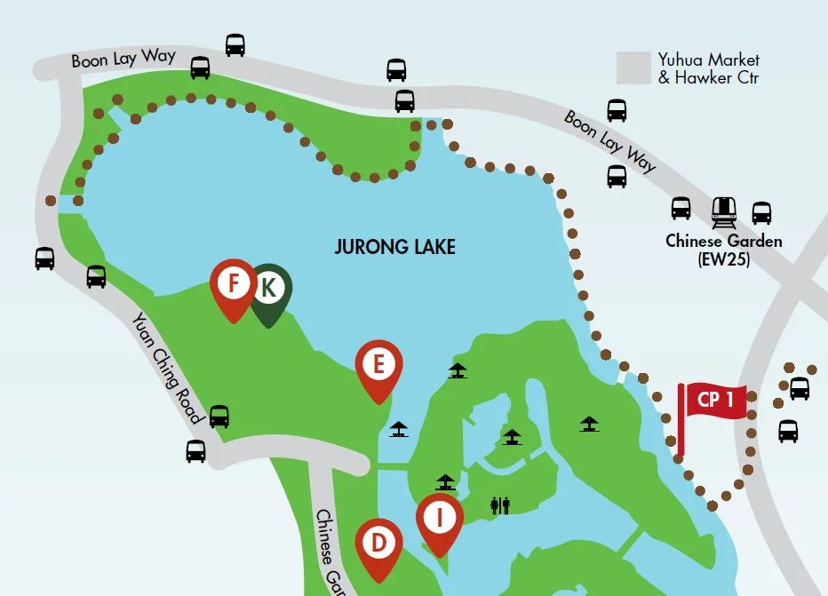
Coast to Coast Trail Map
NParks recommends that you download and use the “Coast-to-Coast (C2C) Mobile App.” However, I’ve read many negative reviews about the app, I decided not to even bother using it. Instead, I use Google Map.
Below is the Coast to Coast Trail Map that I created based on NParks’ Guide as well as the actual route that I took during my walk.
For me, it’s much easier to walk with this custom Google Map than having to open the pdf file from NParks and scroll up&down and zoom in&out every time you want to find your way.
You can save the route in your own Google Map, so that you can refer to it any time you want. Here’s how to save Coast to Coast Trail route to your Google Map:
1. Click on “View larger map” button at the top right corner of the above map. Alternatively, click on this link using your phone to open the map.
2. You will be directed to Google Map and you will see the following.
Have any questions about traveling in Singapore? Join All About Singapore Travel FB group, I'll be there to answer your questions!
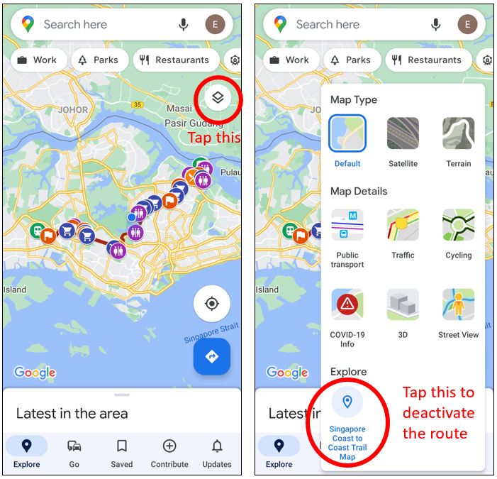
3. Tap the “Back” button on your top left. You will then see the default mode of Google Map, as follow.

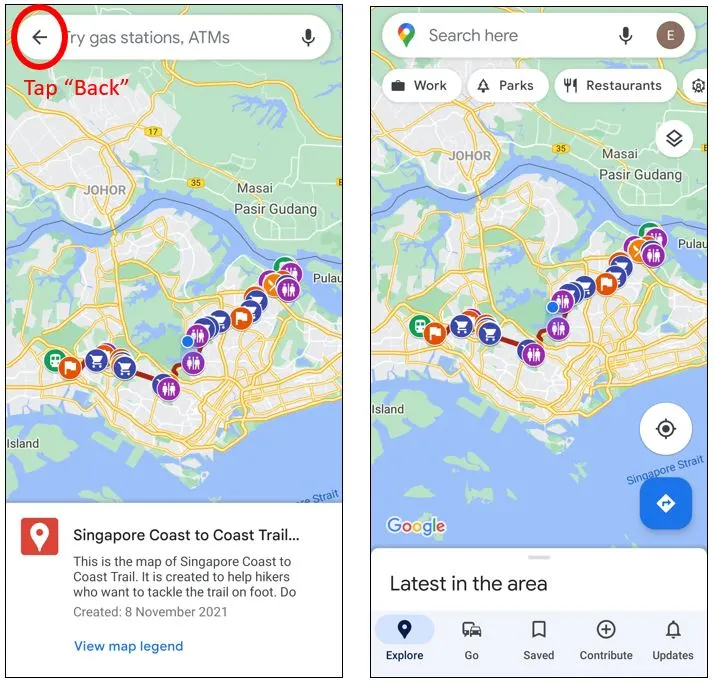
4. To turn off this route, click on the layer button located below your profile picture. Under “Explore”, you can see “Singapore Coast to Coast Trail Map” is active. Tap on it to turn off.
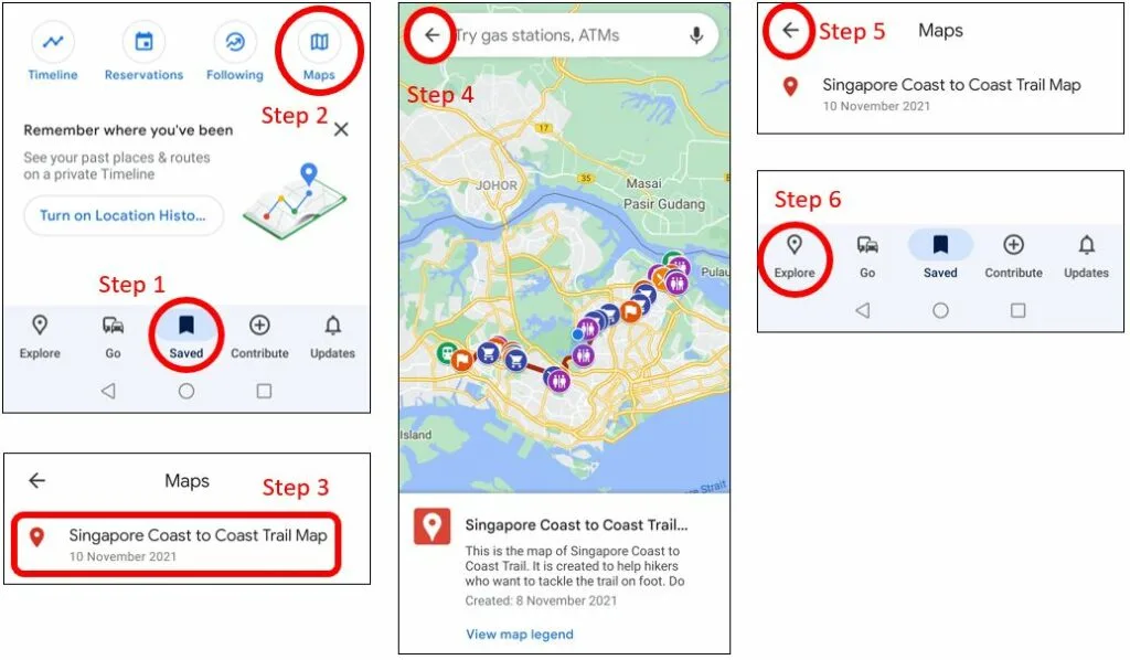
5. If you want to turn on the route again, simply go to “Saved” tab at middle bottom, then scroll down and click on “Maps” then click on “Singapore Coast to Coast Trail Map” and tap “Back” button, then tap “Back” “Back” then click “Explore” tap on the left bottom.

Should you do it in 1 day or multiple days?
It depends on your fitness level. If you’re used to long-distance walking or running (a 30km-walk sounds easy to you), then you may be able to complete C2C trail in 1 day. If not, you may consider splitting the trail into several manageable segments.
Here are my suggestion on splitting it into multiple days:
2 days:
Day 1: CP1 to CP5 = 23.1 km
Day 2: CP5 to CP9 = 16 km
3 days:
Day 1: CP1 to CP4 = 15.2 km
Day 2: CP4 to CP6 = 13.5 km
Day 3: CP6 to CP9 = 10.4 km
Are you afraid of the rain and heat?
Now that you’ve decided the number of days you dedicate to attempt Coast to Coast Trail, the next step is to decide whether you want to avoid the rain and heat, or you’re okay to brave the elements.
If you want to avoid the rain:
– If you’re doing 1-day walk, check the weather forecast and choose the date that’s forecasted to have no rain. Head to 4-Day Outlook and you can see the forecast of the next 4 days.
– If you’re doing multiple-day walk, choose the date that has no rain during your intended walking hours. Usually, in Singapore, the rain lasts for only a couple of hours. Eg: if you’re doing a 2-day walk, you’ll most likely need about 6 hours to complete; if, on your selected day, the rain is forecasted to happen in the morning, then you can attempt your walk in the afternoon or evening.
If you want to avoid the heat:
– If you’re doing 1-day walk, you can do it overnight, from 7pm to 7am.
– If you’re doing multiple-day walk, you can do it in the late afternoon until evening, from 5pm onwards.
If you’re okay to brave the elements, you have the ultimate flexibility in choosing the date and time of your walk.
What to pack
What you pack depends on whether you’re going for a 1-day walk or multiple-day walk. But generally, here are what I recommend.
Water. If you have a hydration bag, that’s wonderful for this trail! If not, I recommend bringing at least 1L water per person. Along the way, you can buy more water.
Snacks. For 3-day walk, you may not need a snack because each walk is only 4 hours max. But, for 1-day or 2-day walks, snacks will be very useful.
Cash. Even though most places in Singapore accept contactless payment nowadays, there are still shops that don’t. It’s best to bring some cash in case you want to buy food or drink and the merchant doesn’t accept electronic payments.
Umbrella, raincoat, hat. For those of you who want to brave the element, remember to bring rain gears (umbrella, raincoat) and heat gears (umbrella, hat).
Waterproof ziploc. If it rains heavily during your walk, you may want to keep your phone and valuables inside a waterproof ziploc to prevent them getting damaged.
Extra socks (optional). This often gets overlooked. If it rains during your walk, water may penetrate into your shoes and your socks will get wet. Wearing a wet socks for hours is very uncomfortable, I learned it the hard way during my final leg at Punggol. My feet got cramped and I could barely walk from Coney Island to the bus stop. I wished I had extra dry socks.
Extra clothes (optional). Your clothes may get wet due to sweat or rain, and if you’re the type of people who don’t like wearing wet clothes, consider bringing extra dry clothes. Yes, it adds weight to your bag, but if it gives you comfort, then it’s worth the extra weight.
Extra mask (optional). In case your mask gets damaged.
What to wear
Shoes: Since most of the C2C Trail is on Park Connector and pedestrian walkway, a road running shoes with plenty of cushion would suffice. No need trail shoes with extreme amount of lugs/grips.
Tops: If you’re doing the walk during the day and you want to avoid getting sunburned, you may consider long sleeve breathable top. If you’re doing the walk in the evening or early morning, any breathable top would suffice.
Bottoms: Definitely shorts in my opinion.
Bag: A comfortable and durable backpack or hydration bag which is enough to carry your stuffs, but not too bulky or ill-fitting that it negatively affect your comfort.
Sunscreen. Don’t forget to wear sunscreen if you walk the trail during the day. Even if it’s cloudy, wear it anyway.
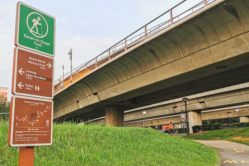
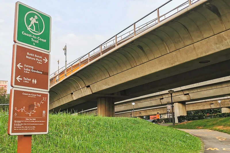
Getting to the starting point of Coast to Coast Trail
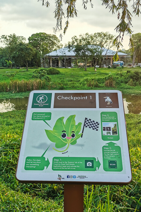
In their guide, NParks suggests that hikers start the journey from Yuan Ching Road (near Lakesisde MRT) and walk through Jurong Lake Gardens towards CP1. This distance is about 2km.
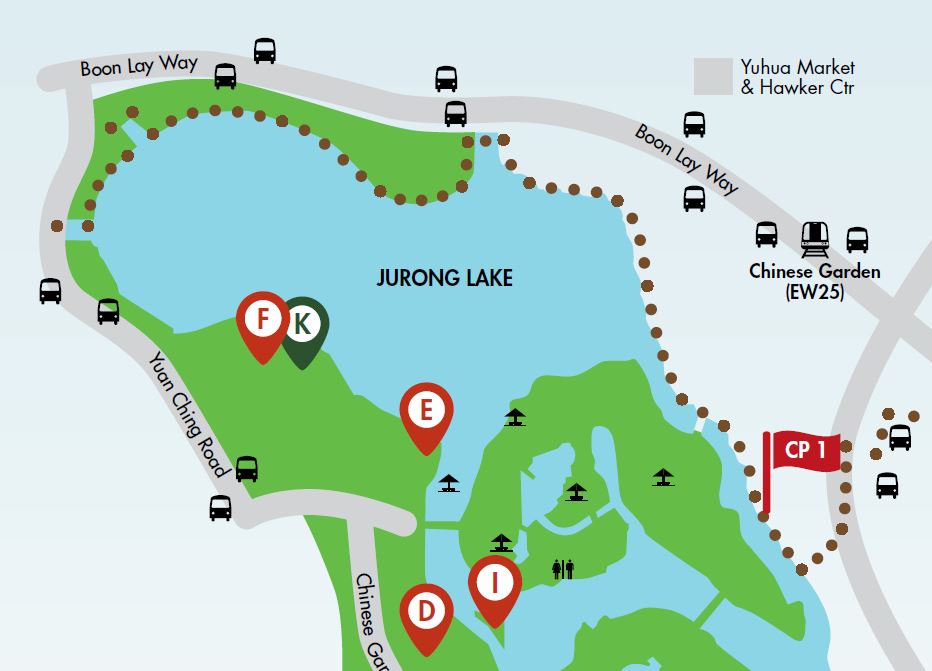
When I attempted this stretch in Oct 2021, construction was going on, hence instead of running inside Jurong Lake Gardens, I had to run along Boon Lay Way.
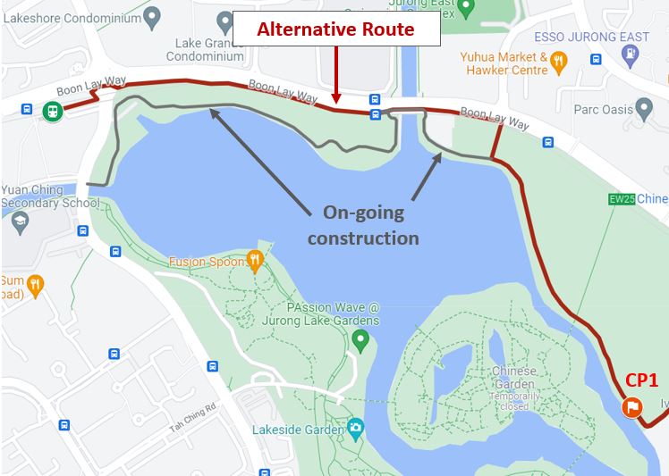

If you want to take a shortcut and reach CP1 faster because Jurong Lake Gardens is closed anyway, you can start your walk from Chinese Garden.
Going home from the ending point of Coast to Coast Trail
CP9 is located at Coney Island. There’s no public transport at CP9 and no car/motorcycle can reach Coney Island.
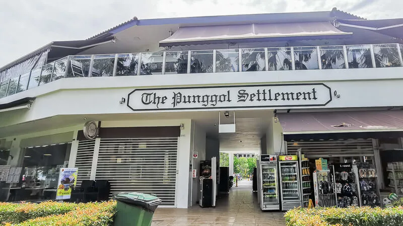
To go back to civilisation, you can walk for 1km from Coney Island to Punggol End Rd bus stop. From this bus stop, take bus 84 to Punggol Bus Interchange. Alternatively, you can call taxi at Punggol Settlement (which is 800m from CP9).
Water management
Before starting your walk, I think it’s necessary to have a proper plan for getting water along the route. For me, I did 3-day walk, and I brought 2 bottles of water (600ml each). I estimated that my 2 bottles would last me until I’m halfway of the journey.
At around the halfway-point, I’ll make a detour to a shop to buy 1 or 2 more bottles of water. At the end of my journey, I’ll be buying a drink again.
I’ve added supermarkets where you can buy water in the map above. I don’t include water fountain because currently there’s a pandemic going around and I don’t think water fountain is safe (this is just my personal opinion).
Food management
Beside water management, food is another important aspect that you need to plan in advance before attempting the Coast to Coast Trail. Because I did 3-day walk and each day is only max 4 hours, I didn’t have to re-fuel along the route.
If you’re doing 1-day or 2-day walk, you need to plan where you’ll be eating, and whether you’ll be eating your usual meal, or you’ll be eating light bites along the way.
In the map above, I’ve added places where you can sit down and have a proper meal. I don’t include every single restaurant/coffeeshop because that will clutter the map.
Toilet management
Similar to water and food, toilet is also something you need to plan for your route. The C2C signboard usually indicates the nearest toilet, but not all of the recommended toilet is usable. In the Google Map that I created, I’ve added several toilet points for easy reference.
Try to combine water, food and toilet point at a single location for ease of planning. For example: Bukit Timah Shopping Centre / Beauty World Plaza located after CP3 is a great pit stop for re-filling of water, re-fueling and for answering nature’s call.
What to see along Coast to Coast Trail
I have an in-depth post detailing the things to see and to take note at every segment of Coast to Coast Trail. Read it here: Coast to Coast Trail: Detailed Checkpoint to Checkpoint Guide
Here’s a condensed version of what to see along Coast to Coast Trail.
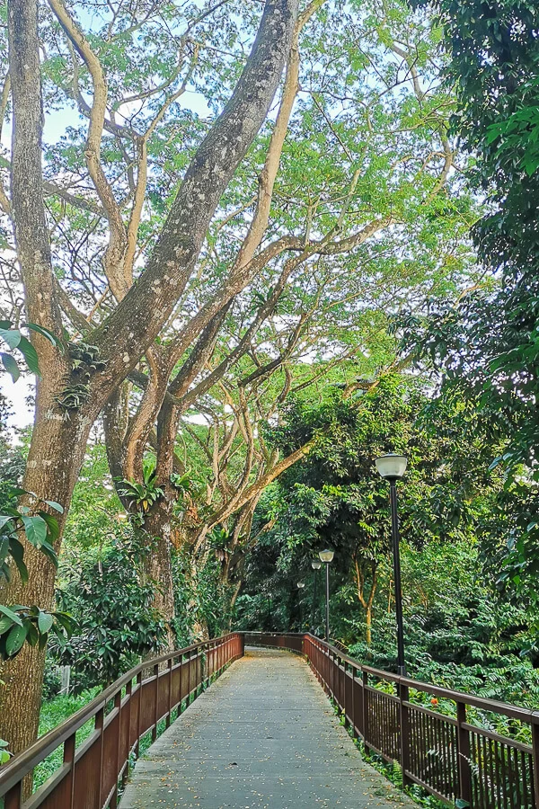
Lakeside MRT to Checkpoint 1: Jurong Lake Gardens, Jurong park connector
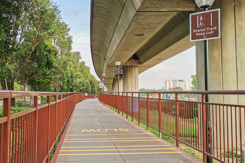


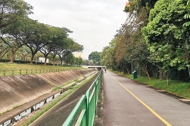
Checkpoint 1 to Checkpoint 2: Park connector under MRT viaduct, Pandan River, Bukit Batok housing estate


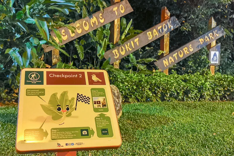
Checkpoint 2 to Checkpoint 3: Bukit Batok Nature Park, Upper Bukit Timah Road
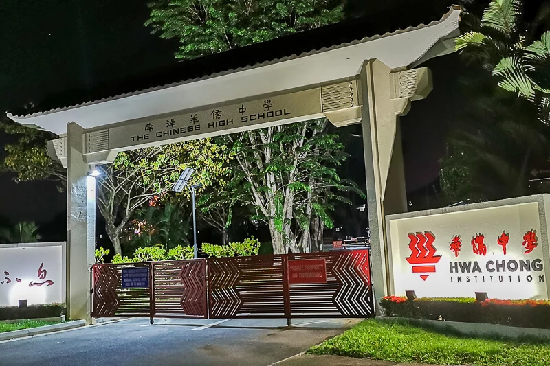
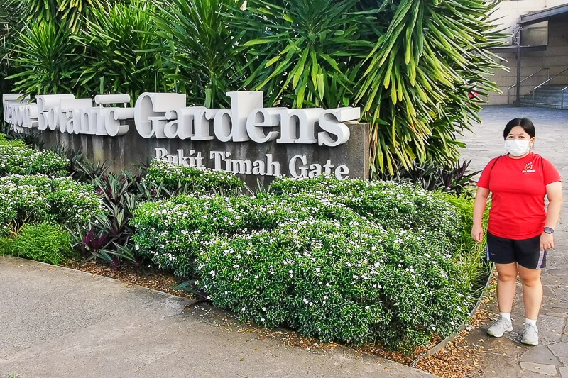
Checkpoint 3 to Checkpoint 4: Mostly pedestrian walkway along Bukit Timah Road, Botanic Gardens


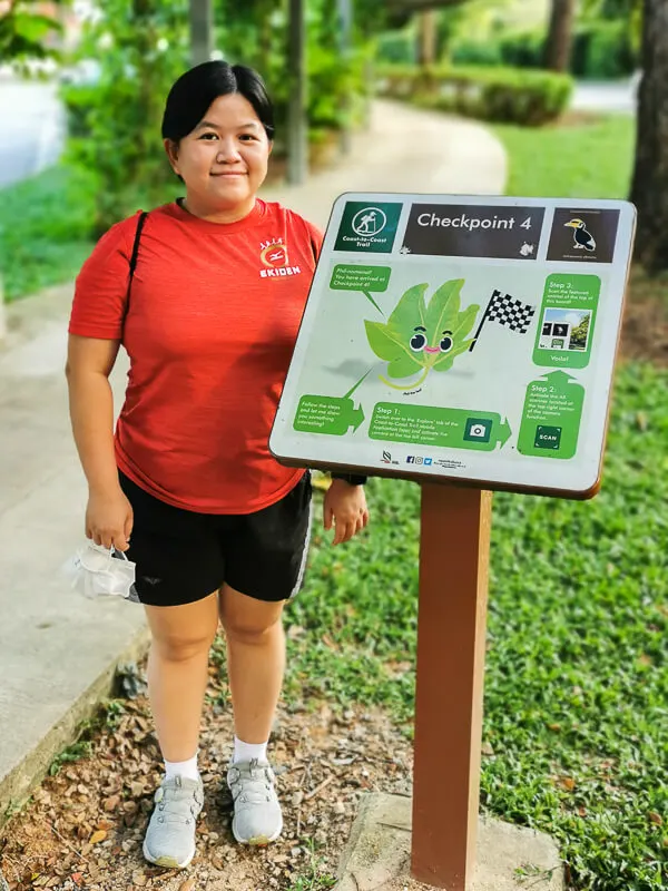
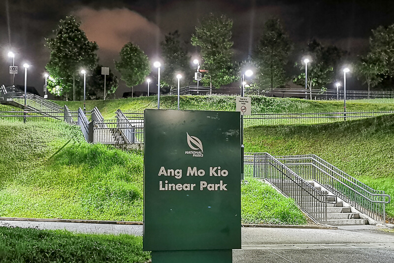
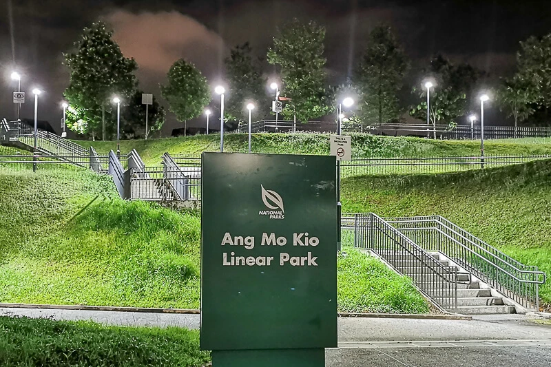
Checkpoint 4 to Checkpoint 5: Adam Road, cemeteries, Lornie Park Connector, MacRitchie Reservoir, Bishan-Ang Mo Kio Park


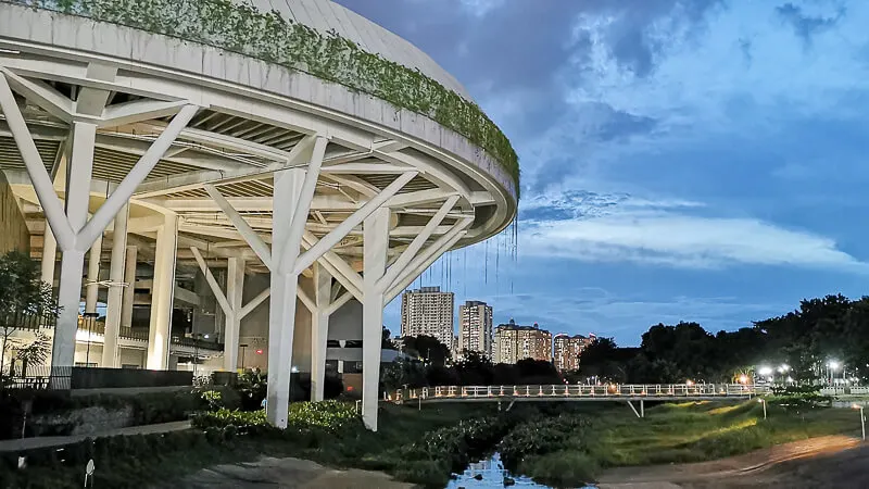

Checkpoint 5 to Checkpoint 6: Ang Mo Kio Ave 6, Ang Mo Kio Ave 5, Nanyang Polytechnic, ITE Central
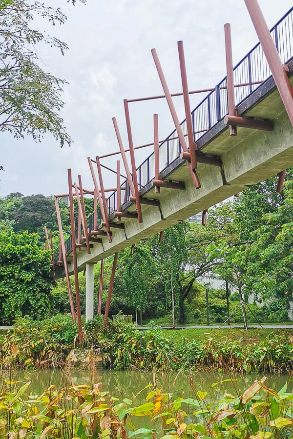
Checkpoint 6 to Checkpoint 7: Yio Chu Kang Road, Kampong Lorong Buangkok, Punggol Park Connector, Sengkang Floating Wetland

Checkpoint 7 to Checkpoint 8: Sengkang Riverside Park, Punggol Waterway Park
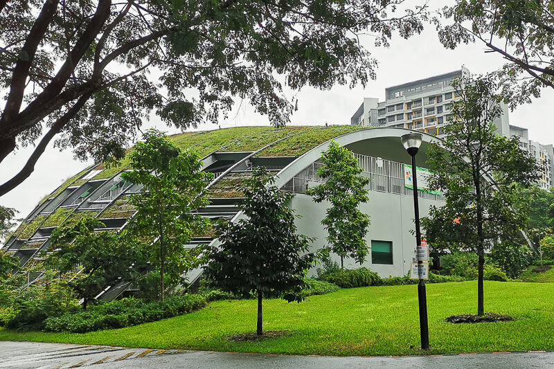
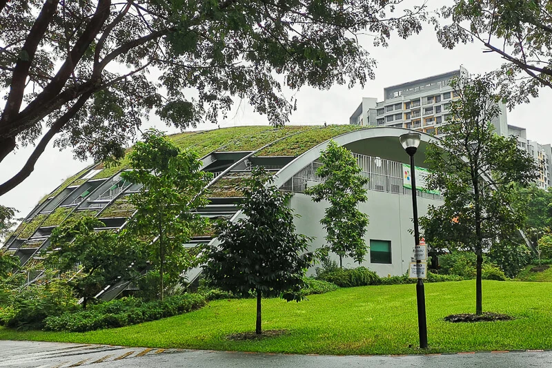


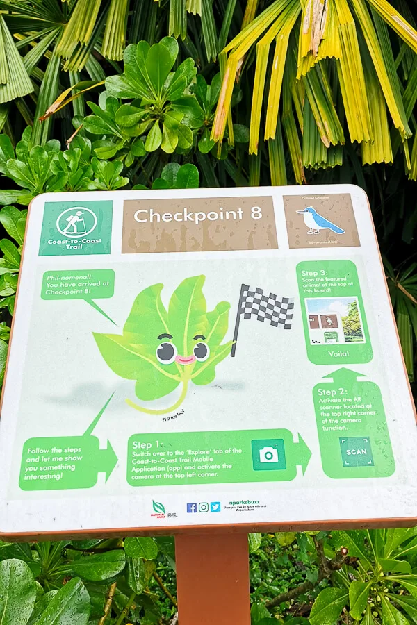
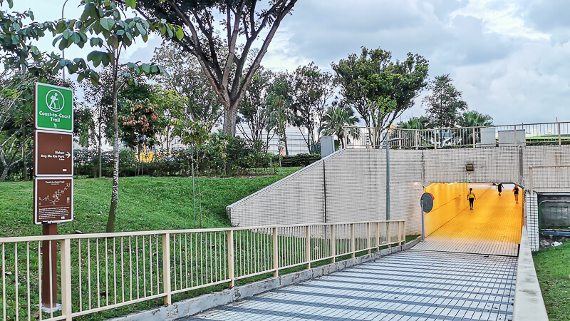
Checkpoint 8 to Checkpoint 9: Punggol Promenade Nature Walk, Coney Island


Checkpoint 9 to Bus Stop at Punggol End Rd: Punggol Settlement

Useful Tips
1. Check NParks website for notice of closure. Having said that, the information on NParks website is not always up-to-date, take it with a pinch of salt. When you’re on the trail, you may encounter more closure than what’s posted on NParks website, but I think you don’t need to worry about that because usually when a road/trail is closed, there will be alternative route, so most of the time you’ll be alright.
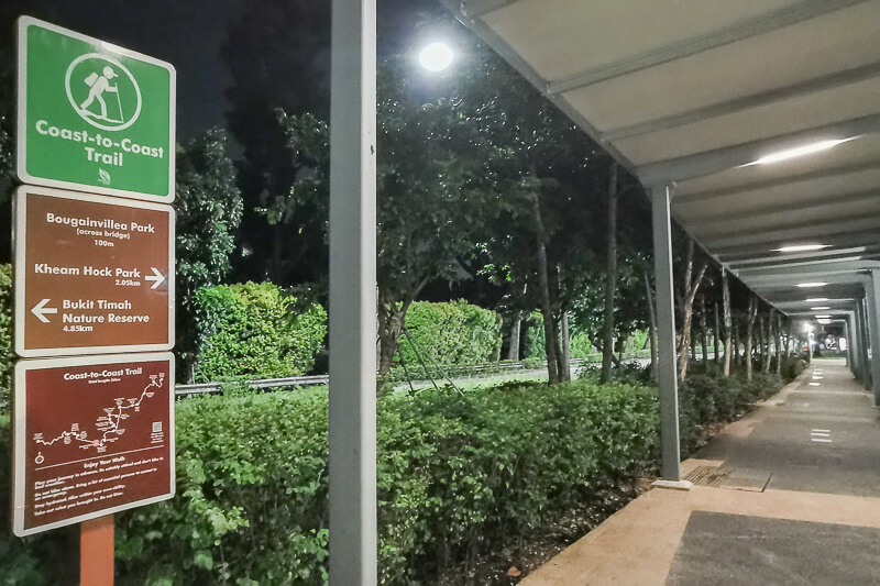
2. Do not just rely on the Coast to Coast physical signboard. Even though they place the signboards at the turning points, there are still several turning points that don’t have signboard. Do check the Google Map from time to time, to make sure you’re on the right track. Example of turning points that don’t have signboard: at the zebra crossing on Yio Chu Kang Road.
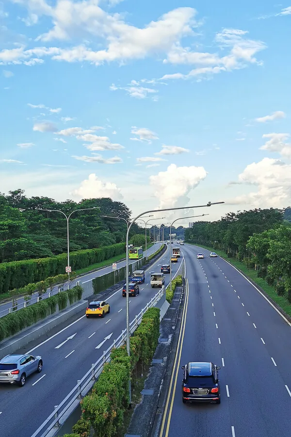
3. Most part of Coast to Coast Trail is on Park Connector, except between CP3 and CP4, Upper Thomson Rd, Marymount Rd and AMK Ave 6. So, if you find yourself walking on a normal pedestrian walkway, it’s possible that you walk on the wrong side of the road.
4. There are plenty of chance to take shortcuts. It depends on your integrity whether you want to take it 🙂 Some examples of shortcut:
- to get to CP1 faster, start your walk from Chinese Garden MRT instead of Lakeside MRT
- at the end of Bukit Batok East Ave 4, instead of turning left and making a U-turn later, simply cross the road at the junction
- take Downtown Line from King Albert Park to Botanic Garden to skip 4km of boring route
FAQ
Is Coast to Coast Trail bicycle friendly?
Even though most part of the trail is on PCN (park connector network) where the path is shared between walkers, runners and cyclists, the Coast to Coast Trail is not entirely bicycle friendly. The toughest stretch for cyclists would be Lornie Highway.
Walkers can cross the overhead bridge from Bukit Brown cemetery and continue the journey on Lornie Park Connector towards MacRictchie Reservoir, however, cyclists can’t do that unless they’re willing to carry the bicycles up & down the bridge. Instead, cyclists need to cycle on the small path along Lornie Highway and miss out on the Lornie PCN segment.
How long does it take to do Coast to Coast trail?
It totally depends on your fitness level as well as how many days you want to dedicate to completing the trail.
A very fit person maybe be able to complete the Coast to Coast Trail in 6 to 8 hours in one day.
For me, I did 3-day walk. The total time I took as someone with sedentary lifestyle was 4hr 10min + 3hr 10min + 2hr 20 min = 9hr 40 mins.
Read next: Coast to Coast Trail: Detailed Checkpoint to Checkpoint Guide
Any questions regarding C2C Trail planning? Let me know in the comments and I’ll try to answer to my best knowledge.
If you like my work, you can buy me a coffee! Your support will help me to keep going!
Shane
Thursday 9th of March 2023
Hi Eva,
I'm so glad I found your blog. I've been wanting to do this walk for a long time, but the app and the PDF weren't practical. Today I started leg one and followed your Google Map layer. It was brilliant. Also, thanks for breaking down the KM's between each checkpoint. This allowed me to break the walk into five legs.
Thank you for sharing this.
Shane
Eva
Thursday 9th of March 2023
Hi Shane, glad to hear that you're doing C2C! Have great fun completing your legs :) You can do it! It's gonna be a rewarding experience!
yj
Friday 29th of July 2022
hey eva, i recently completed the coast to coast trail by myself and another one with my friends. and thanks to your blog post and the google maps you provided, it helped a lot when i did it solo.
would just like to note that the second half of the stretch at sungei punggol, it has been cordoned off for construction. so when i did my trail, i had do a detour and walk to the jewel bridge via sumang ln > punggol field > and then sumang walk.
Eva
Wednesday 3rd of August 2022
Hi yj, nice to hear that you completed the C2C trail TWICE!! Thanks for your feedback!
Tales From Our Pocket
Sunday 6th of March 2022
Wow, this is one of the most thorough blog posts I've seen! Super helpful - thank you!
Eva
Monday 7th of March 2022
Thank you!
Justik
Saturday 26th of February 2022
Thanks for the tips, At last, this route is completed. Start at 7 am, finish around 3 pm. Lunch at Ang Mo Kio.
Eva
Monday 28th of February 2022
That's great!
Ng Lee Li
Saturday 26th of February 2022
The guide for Coast to Coast Trail was very helpful for planning my family's walk. Much appreciated.
Eva
Monday 28th of February 2022
Thanks Lee Li :)